Getting Around Washington DC Easily

Welcome to Washington DC, where exploring the city without a car is genuinely practical—and often much easier. When I first visited DC, mastering the local transit unlocked the city for me and took the stress out of sightseeing. Three main options make up DC’s public transportation backbone: the Metro, WMATA buses, and Capital Bikeshare.
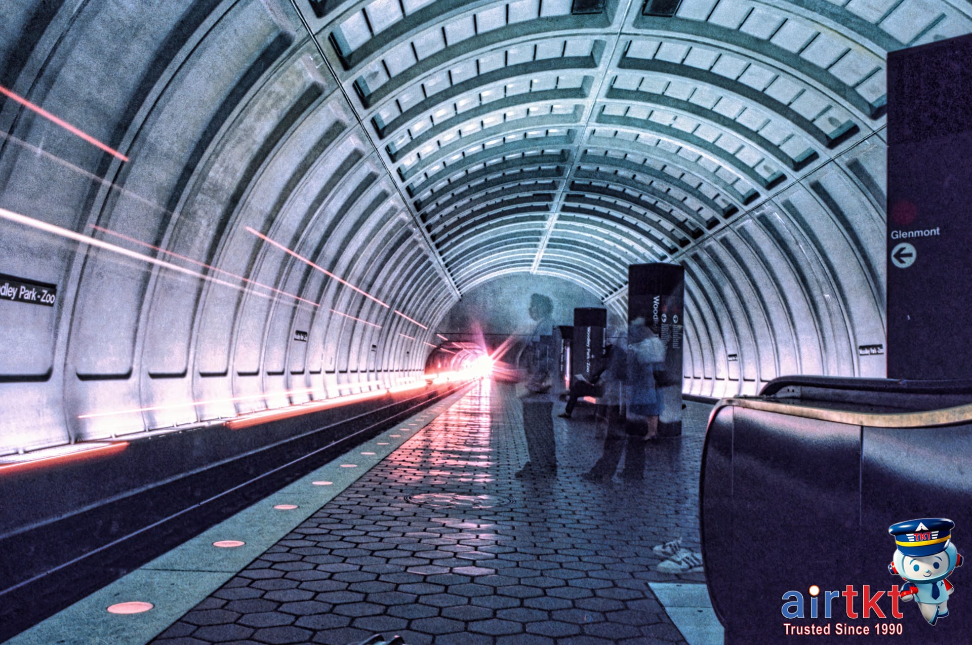
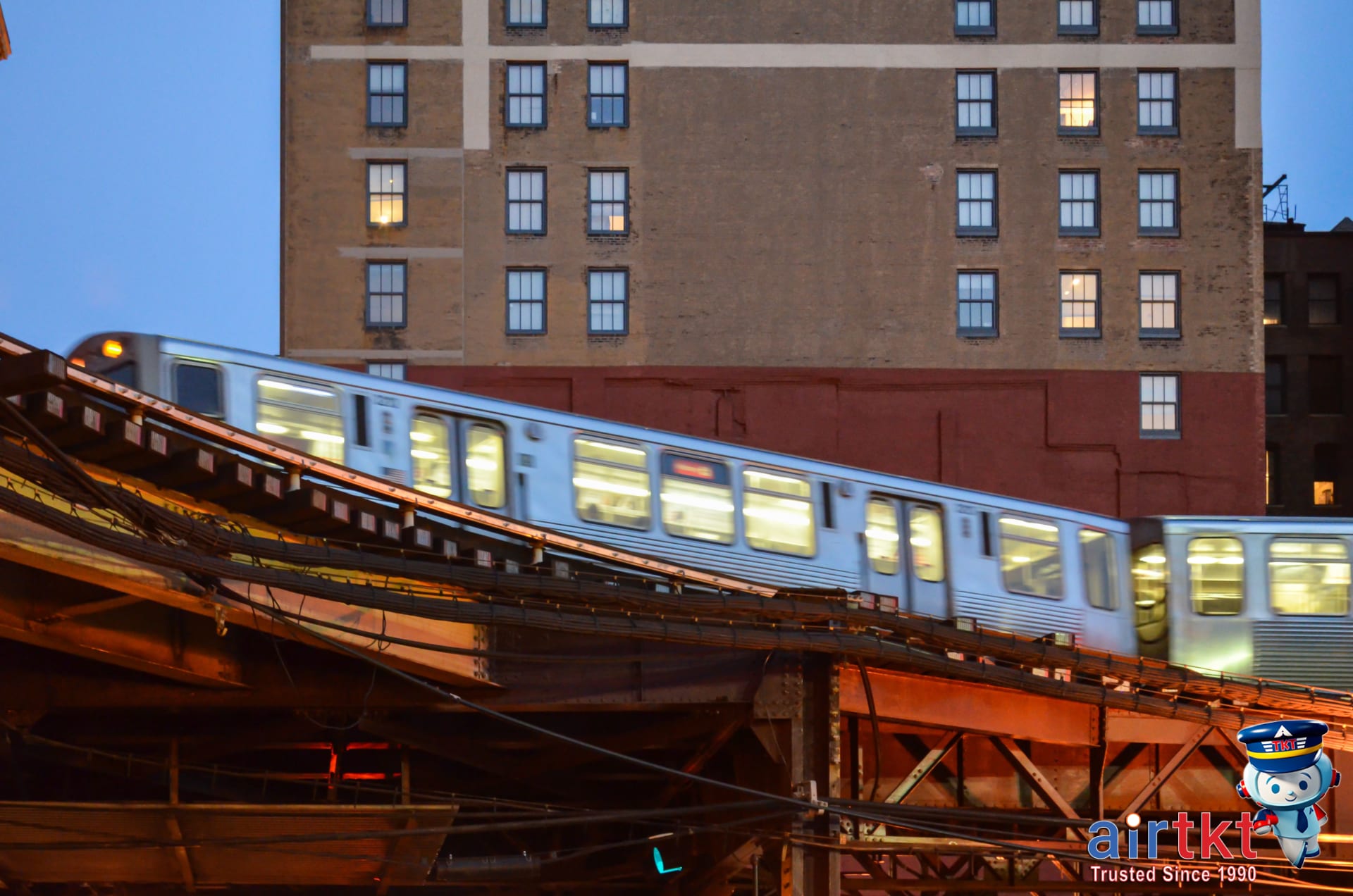
The Washington Metro is an extensive rail network that connects key neighborhoods, important attractions, and the suburbs. Trains are frequent, stations are well-marked, and most of the National Mall’s highlights are a short walk from Metro stops. WMATA’s clean, color-coded lines make it less intimidating even for newcomers.
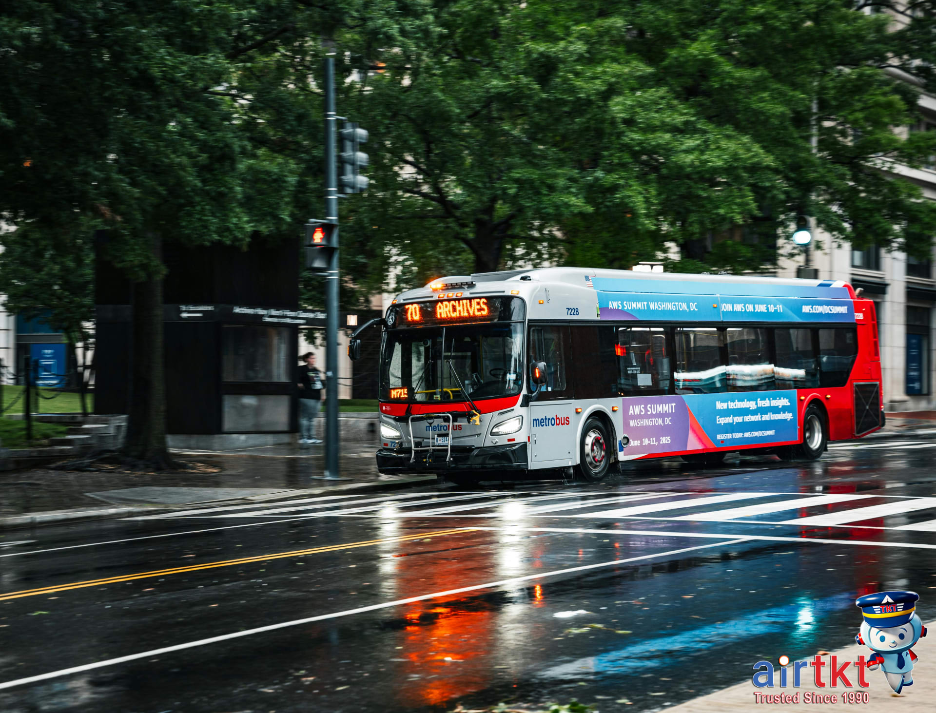
Next up are the WMATA buses. These cover routes the Metro doesn’t reach and are reliable for local travel, especially when you want to visit spots beyond the major tourist grid or hop neighborhoods without transfers. The same SmarTrip card works for both buses and Metro, adding some everyday simplicity.
If you prefer your own pace or want to avoid crowded trains during rush hour, Capital Bikeshare is a fantastic alternative. You’ll spot their red bikes and docking stations throughout DC. They’re great for zipping between the Smithsonian museums or pedaling to the tidal basin during cherry blossom season. Plus, short trips let you see more without waiting on transit schedules.
DC’s commitment to public transportation means driving and parking rarely beats taking the Metro, bus, or bike. Leave the rental car behind and use these options—you’ll save money, cut down on headaches, and probably get around faster. For real-time Metro and bus updates, do yourself a favor and download the WMATA app. It makes timing and route-planning dramatically easier when you’re on the move.
If you want more perspectives or tips about staying and getting around, check out the curated DC travel and accommodations advice on the airtkt.com blog.
How The WMATA Metro System Works
Getting to know the WMATA Metro system can make your travels around Washington, DC much easier, especially if you’re hoping to see a bunch of key landmarks during your trip. The Metro consists of six main lines—Red, Orange, Blue, Yellow, Green, and Silver—each marked by a clear color on the map and on real trains. In practice, the network forms a web that radiates from the downtown core toward the suburbs, making it simple to plan a route between destinations.
I found the color-coded Metro lines really helpful for planning trips, especially when I wanted to hop between must-see sights and Museums on the National Mall. The Red Line cuts across the city and stops at Union Station, which is useful if you’re arriving or departing by Amtrak. If you’re aiming for the Smithsonian museums or the U.S. Capitol, the Orange, Blue, or Silver lines will all get you to stations like Smithsonian, Federal Triangle, or Capitol South, with minimal street walking.
Accessing Top Destinations
Many major attractions have Metro stations right nearby, saving you both time and the hassle of city driving. For example, the White House is easily accessible from McPherson Square (Blue, Orange, Silver) or Metro Center (Red, Blue, Orange, Silver). The Pentagon, Arlington National Cemetery, and Reagan National Airport (DCA) all sit right along the Yellow and Blue lines. If your flight lands at DCA, you can step off the plane, ride an escalator, and get on the Metro within minutes—which I’ve found makes airport transfers a breeze compared to most cities.
If you’re flying in or out of Dulles International Airport (IAD), take the Silver Line westbound; several hotels and conference centers are along that route as well. Though Baltimore-Washington International (BWI) isn’t directly connected, you can take the Green Line to Greenbelt, then transfer to a connecting bus to the terminal.
Before you finalize your trip details, I’d recommend reading the airtkt.com flight booking guide for DC. It covers airport options and best routes to the city center, which syncs really well with Metro connections.
Making the Most of WMATA Buses
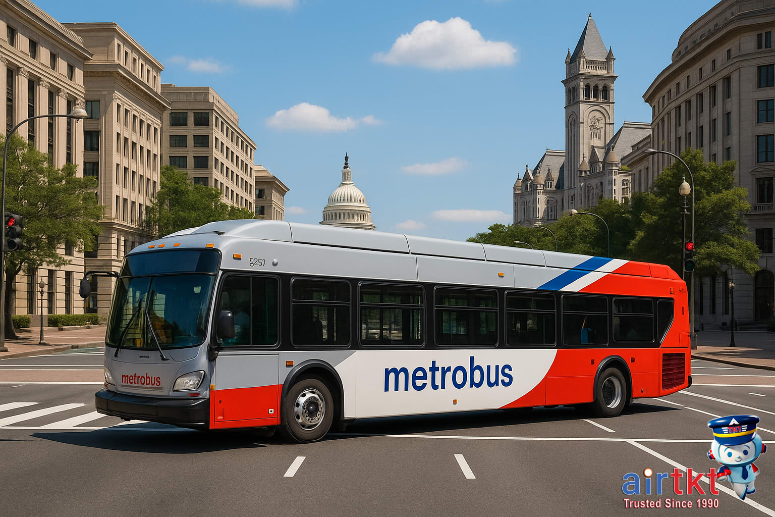
The WMATA bus network reaches corners of Washington DC, Maryland, and Virginia that the Metro just doesn’t cover. Buses frequently run through neighborhoods beyond the main rail lines, stopping at local shopping centers, residential areas, and popular attractions. If you’re headed somewhere not directly served by Metro, chances are you’ll find a bus route within a few blocks.
Most higher-demand routes offer arrivals every 10–20 minutes during peak hours, but timing can vary a bit outside the city center or late at night. Personally, taking the bus gave me a chance to see neighborhoods the Metro doesn’t reach, and I appreciated getting a street-level view of local life. It’s a relaxed way to watch DC’s diverse streetscapes roll by—especially on routes traveling through areas like U Street, Capitol Hill, or along Wisconsin Avenue.
Bus and Metro Connections
WMATA buses are designed to work hand-in-hand with the Metro system. Many lines begin or end at Metro stations, making it easy to switch between rail and bus with the same SmarTrip card. When I want to explore new neighborhoods, I’ll often ride Metro to a hub and then hop on a connecting bus. If you’re interested in neighborhood specifics, check out airtkt.com’s guide on city neighborhoods for inspiration.
Rider Tips for Bus Newcomers
If you’re unsure which bus to take or where to get off, don’t hesitate to ask your driver as you board. They’re usually happy to clarify if their route hits your stop, or suggest where you might need to transfer. Bus stops list route numbers, but intersections and signage in some areas aren’t always obvious—trust me, I’d always double-check with the driver to avoid missing my connection.
Capital Bikeshare for Short Trips
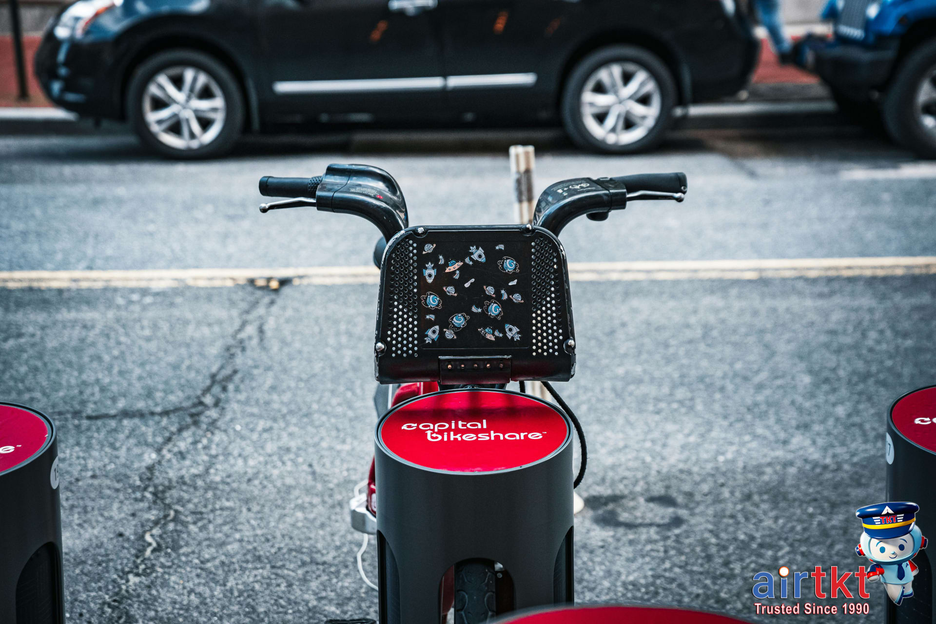
Capital Bikeshare makes exploring Washington DC simple and convenient, even if you’re only in town for a short time. The system offers stations all over the city, and the process is straightforward: just use the Capital Bikeshare app or the dockside kiosk to rent a bike. If you have a smartphone, I recommend downloading the app for the smoothest experience—it lets you locate and reserve available bikes in real time, which can save precious minutes if you’re on a tight sightseeing schedule.
Biking around the National Mall on a Capital Bikeshare bike was a highlight of my trip. You can start by picking up a bike near the Smithsonian museums and ride past landmarks like the Lincoln Memorial, Tidal Basin, and Washington Monument—all on well-marked trails that make for scenic, memorable rides. The paved lanes around the Mall are especially bike friendly, so you can enjoy views of the Reflecting Pool and cherry blossoms in season.
If you’re interested in seeing more than just the Mall, consider pedaling out along the Mount Vernon Trail or crossing the river to Arlington. It’s possible to dock your bike at any of Capital Bikeshare’s numerous stations, making one-way rides flexible and stress-free. For more ideas on active sightseeing, check out airtkt.com’s article on outdoor activities in Washington DC.
Safety Reminders for Bikers
DC is fairly bike-friendly, but safety always comes first. While helmets aren’t required by law for adults, I always encourage wearing one—local shops rent helmets if you didn’t bring your own. Stick to marked bike lanes whenever possible, obey traffic signals, and be mindful of pedestrians, especially around the busy Mall area. Also, keep an eye out for tour groups and road work, as both can pop up unexpectedly along popular routes.
SmarTrip Cards Explained Clearly
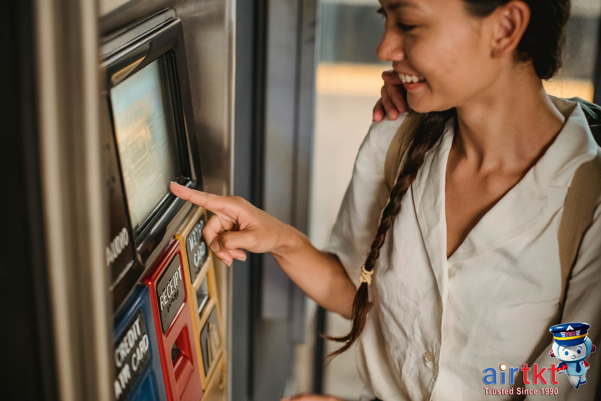
If you’re using transit in Washington, D.C., a SmarTrip card is your essential ticket to ride. You can buy one at all Metro stations from the ticket vending machines—these are easy to spot, and staff are usually nearby if you need help. If you prefer planning in advance, it’s also possible to purchase SmarTrip cards online through the official regional transit website and have them mailed to your home.
Once you have your card, loading value is straightforward. Most travelers add funds at Metro station machines, which accept cash, credit, or debit. Alternatively, you can reload using the SmarTrip mobile app or online portal—allowing you to add money from anywhere before you even set foot on a train or bus. Checking your card balance is just as easy; tap it on a vending machine, faregate, or use the app to see how much value is left before your next journey.
What I appreciate most is how the SmarTrip card works seamlessly across all forms of public transportation—Metrorail, Metrobus, even some regional partners. Having a SmarTrip card saved me time and hassle across transit modes because I didn’t have to line up for individual tickets or carry exact change for buses.
Whether you’re exploring the museums or just getting to a business meeting, a SmarTrip card really does simplify every ride. Just tap and go, and spend less time worrying about tickets and more time enjoying D.C.
Planning Routes and Times in DC
If you’re heading out to see the best of Washington DC, having a game plan for your Metro and bus routes makes a huge difference—especially during busy travel times. I’ve found that using Google Maps or the official WMATA app not only saves time but can transform a complicated trip across the city into something straightforward.
Google Maps and WMATA App
Google Maps remains my go-to for simple, step-by-step Metro and bus directions. It gives you estimated travel times, live updates on delays, and alerts if a train or bus is running late. WMATA’s app is just as helpful. You’ll get live train and bus tracking, see how crowded a train might be, access schedules, and even plan multi-modal trips (combining Metro and bus). With either tool, you can easily check operating hours and plan transfers ahead of time—especially helpful when museums or events are on your schedule.
Sample Routes to Major Sights
Let’s say you’re starting near Dupont Circle and want to visit the National Mall. Google Maps will show a quick ride on the Red Line south to Gallery Place, then a switch to the Yellow or Green Line one stop to Archives, which drops you right by the museums—expect the trip to take about 15 minutes if you time it well. For a destination like the Smithsonian National Zoo, I recommend the Red Line to Woodley Park, which is about a 10-minute ride from downtown, plus a short walk.
Metrobus works well for neighborhoods not directly on the Metro. For instance, if you’re heading to Georgetown (where the Metro doesn’t reach), the WMATA app will map out connections using the Circulator or Metrobus in about 25 minutes from downtown. Planning routes ahead helped me avoid extra waiting on chilly days—especially for less frequent lines.
Payment and Access Tips for DC Metro
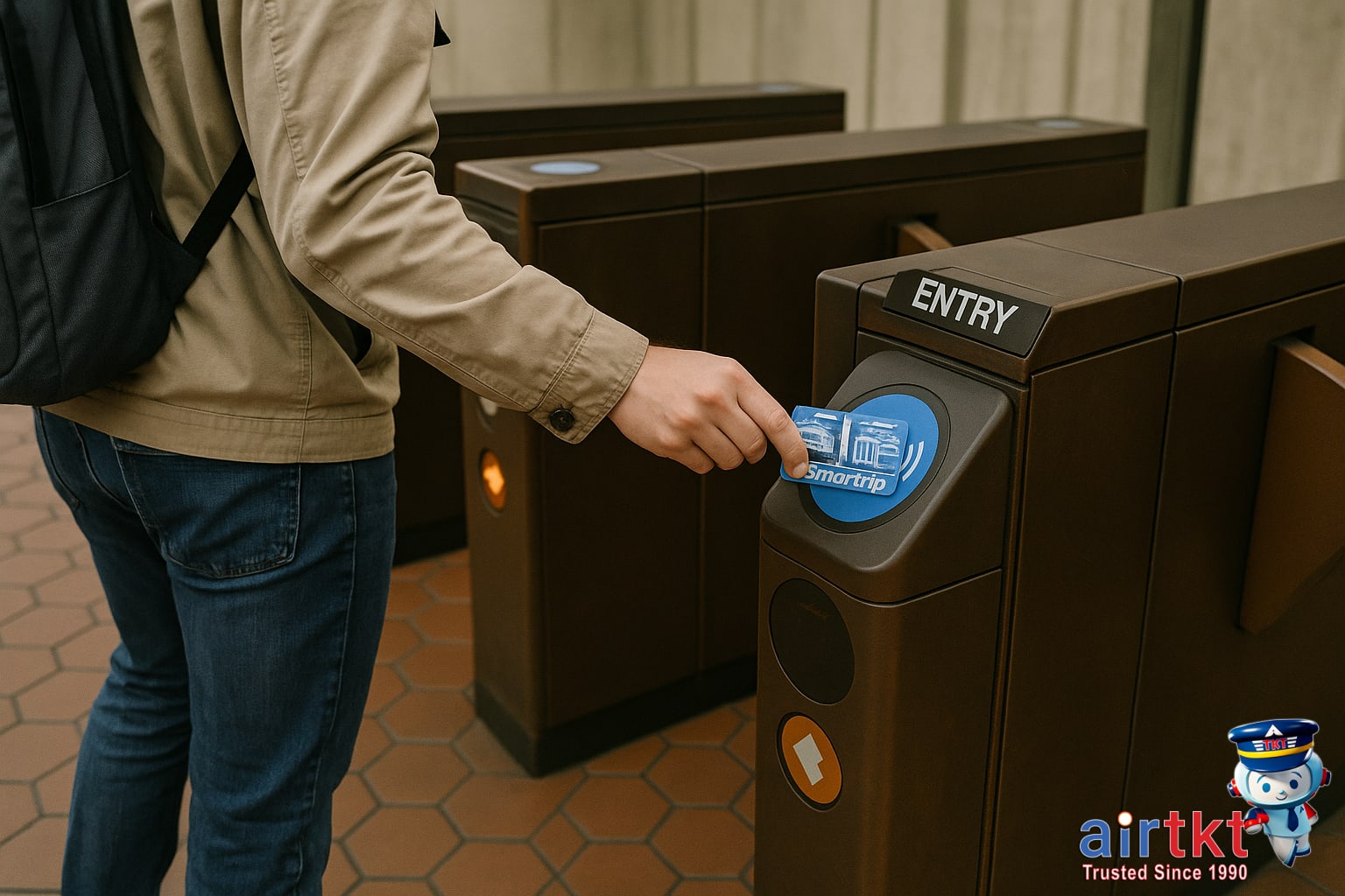
Understanding how to use your SmarTrip card can make getting around D.C. a lot easier—and cheaper. On the Metro, always tap your SmarTrip card at both the entry and exit gates. For buses, just tap once as you board. Skipping these steps can result in a penalty fare or even getting charged the maximum possible amount for your trip. Tapping my SmarTrip card quickly got me through turnstiles without hassle, and it’s genuinely faster than fumbling with cash or paper tickets.
After each tap, you’ll see your remaining balance right on the reader—so it’s easy to keep track. If your balance drops low, look for the blue top-up machines inside most major Metro stations. Keeping a few extra dollars stored on your card is a smart move; missing your tap can mean paying more, even for a short ride. Remember, the Metro system is strict—especially during busy times—so I recommend double-checking that “tap” every time you travel.
For travelers looking to avoid extra fees, knowing these card basics is essential. The convenience of card tapping isn’t just about speed but about making sure you’re only paying for what you use. Errors or forgetfulness can quickly add up if you’re taking several rides a day. Personally, I always tap in and out, and it’s become second nature.
Staying Safe Using Night Transit
Washington DC’s Metro and main bus lines do run late, though schedules can differ quite a bit depending on the day—especially on weekends when trains and buses sometimes run less frequently at night. Before you head out, it’s wise to check schedule changes, as Metro closing times can vary and some routes reduce service as the night goes on. In my experience, this is where most travelers slip up—assuming service is as frequent late at night as it is during the daytime. That isn’t always the case, so building in time to wait for a train or bus is a smart idea.
When I’ve used the Metro late at night, I felt safe thanks to well-lit stations and a visible security presence. Most stations in the DC area light up platforms, stairs, and major walkways, making it easy to see your surroundings and avoid any unwanted surprises. Security staff and station attendants are typically on hand until the system closes, and you’ll often spot them making rounds or watching the gates.
If you’re heading out after hours, keep these pointers in mind:
- Stick to main routes and avoid deserted platforms when possible.
- Stay in well-lit, central areas of each station while waiting.
- Where possible, board buses or trains in the car closest to the operator or alongside other riders.
- Always check last-train and last-bus times—especially after midnight on weekends.
For extra peace of mind, I make a habit of glancing at posted safety instructions in each station and noting the locations of exit routes. Generally, crowds thin out late at night, but I’ve found that if you remain aware and plan ahead, public transit in DC can be a safe way to get around after hours.
Combining Metro, Bus, and Bikeshare Seamlessly
If you want to get the most out of Washington DC’s public transit, learning how to integrate Metro, bus, and bikeshare will save you time and keep your plans flexible. The city is designed with several major hubs—places like Union Station, L’Enfant Plaza, Gallery Place, and Columbia Heights—where Metro lines, Metrobus routes, and Capital Bikeshare docks all intersect, making transfers much more convenient.
Trip planning gets easier once you start thinking about your destination in terms of these key hubs. For example, you can take the Metro from the suburbs to L’Enfant Plaza, hop off and board a bus to reach a museum on the National Mall, or grab a bikeshare bike just outside the station to finish the last mile on your own schedule. Most large Metro stations have clearly marked exits that point you directly to nearby bus bays and bike docks, which cuts down on confusion and walking distance.
I found that switching between buses and Metro was simple once I got the hang of it. With a little practice, you’ll spot the signs for bus stops and Capital Bikeshare locations right as you leave the fare gates. If you haven’t used one of these hubs before, plan your route around them and check station maps ahead of time—most show where all connections are located, so you can decide quickly whether it’s better to continue by bus, rail, or bike depending on weather, traffic, or personal preference.
Bike Docks at Every Major Stop
DC’s investment in multi-modal travel makes quick bike transfers possible. Most central Metro stations and major bus stops—especially downtown—have Capital Bikeshare docks within a short walk of each entrance or exit. Docking stations are visible at places like Dupont Circle, Foggy Bottom, and NoMa-Gallaudet, letting you shift from underground to two wheels in a couple of minutes. I usually recommend checking the Capital Bikeshare app en route to see real-time bike or dock availability before you arrive.
If you want more efficiency tips for DC or other cities, the travel hacks feature over at airtkt.com lays out smart ways to combine tickets, maximize transfer windows, and save money with transport passes.
Washington DC Transit Budget Table
Sticking to a daily budget in Washington DC starts with understanding the real costs in every key category. When I visit DC, I find it helps to break down my expenses—especially for things like transit, which can sneak up on you if you’re not careful. Here’s a straightforward budget table to help you plan, covering accommodation, food, transport, and activities for budget, mid-range, and luxury travelers.
| Budget | Mid-range | Luxury | |
|---|---|---|---|
| Accommodation | $45.00 | $180.00 | $420.00 |
| Food | $22.00 | $65.00 | $160.00 |
| Transport | $10.00 | $22.00 | $50.00 |
| Activities | $5.00 | $28.00 | $80.00 |
Key Tips For Each Category
- Accommodation: Hostels and budget chains are widely available and usually safe. For big savings, look outside the downtown core—but weigh transport costs to ensure they don’t cancel out any price difference.
- Food: Grab lunch from food trucks or casual cafes. The city offers plenty of affordable international eats, especially around college campuses.
- Transport: The DC Metro is reliable for most sights. Tracking my transit costs with SmarTrip helped me stick to my travel budget since I knew exactly how much I’d use each day.
- Activities: Many Smithsonian museums and monuments are free, so spend your activity budget on unique experiences or specialty tours instead.
Careful planning in each spending category makes a real difference—I often set daily limits based on this table to avoid overspending and make the most of my time in DC.
Common Questions About DC Transit
I’ve found addressing these common questions helps travelers get clear on how to actually navigate DC’s transportation system, especially when it comes to SmarTrip cards, late-night options, and understanding what’s best for quick sightseeing.
- Do I need a SmarTrip card to use DC Metro and buses?
Yes, you’ll need a SmarTrip card to ride the Metro, most local buses, and even on the DC Circulator. These cards are reusable, easy to reload, and are the most convenient way for both locals and visitors to pay fares throughout Washington, DC’s transit networks without carrying cash.
- Is the Metro or bus better for tourists getting around DC?
Metro is generally faster for major destinations and popular sites like the National Mall or Smithsonian museums. Buses cover more neighborhoods and can be helpful if you’re staying outside central DC. I’d check which lines serve the places on your DC itinerary before choosing which to use first.
- How late does public transit run in DC?
The DC Metro and major bus lines operate into late evening, but exact hours can change depending on the day of week and service adjustments. If you need very late transportation, confirm schedules in advance or consider using ride-hailing services for reliable options after public transit closes.
- Where can I buy and reload a SmarTrip card?
You can buy and reload a SmarTrip card at any Metro station vending machine throughout Washington, DC, and at major bus transit centers. They’re also available at most CVS and Giant stores in the area, which makes topping up before you board pretty straightforward for visitors.
- Are there unlimited Metro passes for tourists?
Unlimited-ride passes are available for the DC Metro, covering single day or multi-day periods. These work well if you plan to take multiple trips in one day and want simple budgeting. Look for “One Day Unlimited” or “Seven Day Unlimited” at Metro station vending machines when you arrive.
- Can tourists rent bikes easily in DC?
Yes, bike rentals are available all over central Washington, DC, through Capital Bikeshare. You’ll find Bikeshare docks near hotels, the National Mall, and most Metro stations. It’s a popular way for visitors to explore monuments at your own pace and skip waiting for crowded trains or buses.
- Do DC buses accept cash fares from visitors?
Most local DC buses accept cash fares, but it’s always easier and faster to use a SmarTrip card for boarding. You’ll need exact change for cash payment since drivers can’t provide change on board. I always recommend loading enough value on your card for day trips to avoid any surprises.
Final Thoughts on DC Transit
After spending time in Washington DC and relying on public transit, I’ve genuinely come to appreciate how much it enriches a visit here. Hopping between neighborhoods by Metro or bus gave me the freedom to explore more places without the stress of parking or navigating city traffic. DC’s transit makes it simple to reach everything from museums on the National Mall to off-the-beaten-path food spots—which is a real bonus if you’re visiting for the first time or traveling on a budget.
I usually recommend giving car-free travel a try, especially in a city like DC where transit is readily available and takes you close to most major attractions. Besides being more relaxing, it’s often faster and helps you see more of the city in a short amount of time. If you’re curious about trip planning details—including booking your flights, finding a good hotel, or even arranging tours—I’ve found the airtkt.com blog is packed with practical tips and destination info to help you get the most out of your trip.
Getting around Washington DC using public transport really enhanced my visit. Taking the time to embrace local transit not only saves money, but lets you experience the city in a way that’s both authentic and efficient. I’d encourage future travelers to make use of these systems—and let resources like airtkt.com smooth out the rest of your travel plans.